
This mountain is not as well-known to tourists as Agung and Batur, yet it is the second-highest peak in Bali. The mountain's height is 2,276 meters. Its summit is often shrouded in clouds, giving it a unique and mystical atmosphere.
At the base of the mountain, you can find the temple of the same name - Pura Luhur Batukaru (Pura Luhur Batukaru).

Built in the 11th century, the temple was destroyed in 1604-1605. Balinese chronicles claim that the temple was damaged during a siege by the neighboring kingdom of Buleleng.
It was reconstructed three centuries later, in 1959. The temple grounds feature multi-tiered pagodas and a well-kept garden. There are numerous flowers, greenery, and ancient moss-covered statues.
Grassy courtyards are planted with blooming hibiscus, ixora, and champaka. The temple is surrounded by forest on three sides, attracting a variety of birds for feeding.
Pura Luhur Batukaru temple was once the main temple of the Tabanan kingdom. One of its most important shrines is the seven-tiered pagoda dedicated to the god and spirit of Mount Batukaru, Mahadeva. It is believed that Mahadeva protects the surrounding area from earthquakes and misfortunes.
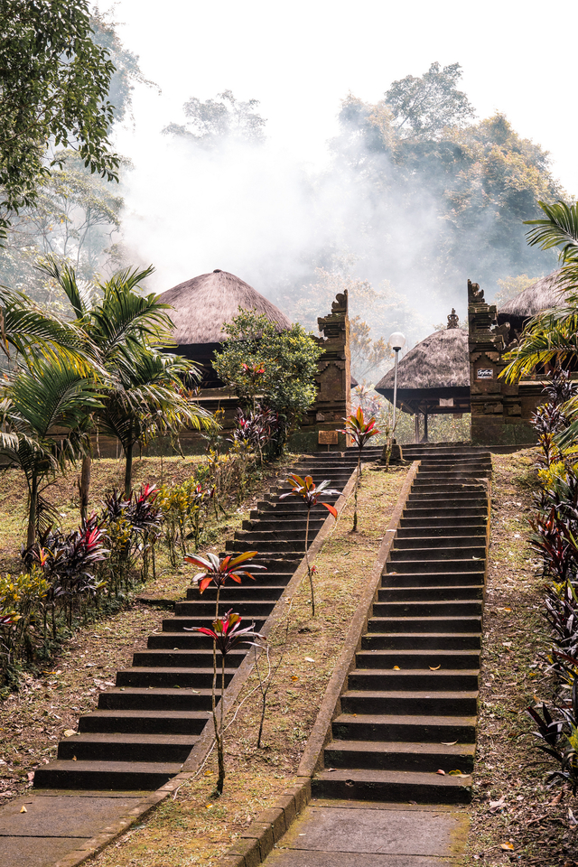
Near the temple, there is a square-shaped pond with wild ducks and large fish. Members of the local subak community come here for water used in agricultural ceremonies, while worshippers bring their offerings during the annual Galungan festivals, which celebrate Balinese New Year.
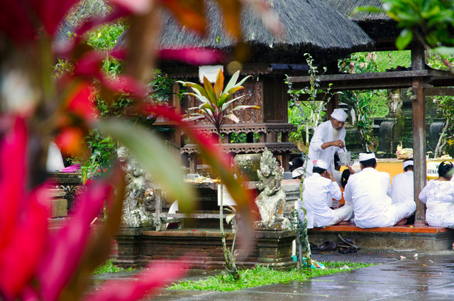
Most of the time in the vicinity of Batukaru, it is cloudy. Even if it's clear in the morning, by noon, the sky is often covered by clouds.
The mountain is considered sacred. Balinese people undertake an annual ascent of Batukaru to pay their respects to its spirit.
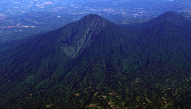
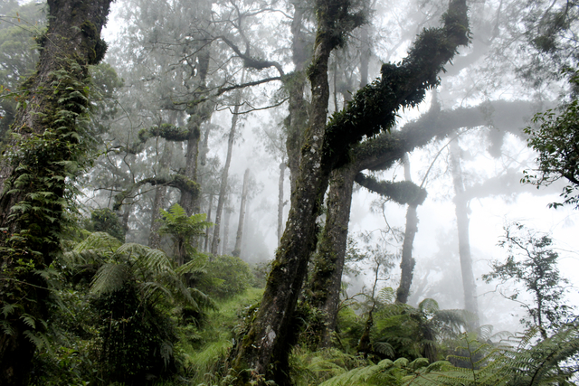
Climbing Mount Batukaru differs from ascending Agung or Batur. Batukaru is an extinct volcano covered entirely by forests and greenery. Its crater is elongated to the south and measures 12 kilometers in diameter. The trail to the summit passes through dense tropical forests.
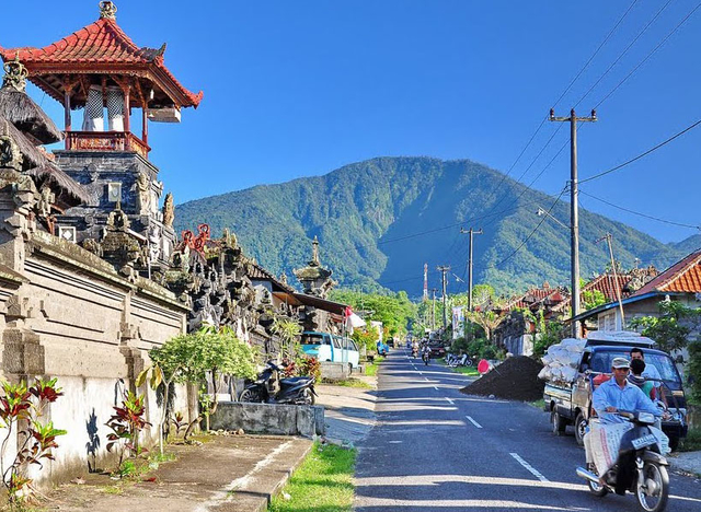
Weather conditions are a crucial factor in the ascent. In this area, it rains for most of the year. Do not plan your Mount Batukaru ascent during the rainy season or when rain is expected according to forecasts. Trails quickly turn into channels for mountain streams.
July and August are the best months for the ascent. However, even if you conquer the summit, cloudy weather can obscure the view from the top of the mountain.
There are three main ascent routes. Trails to the top of Mount Batukaru lead from the villages of Wongayagede, Sarinbuana, or Sanda.
The route from Sarinbuana is the easiest. The ascent to the mountain's peak takes 5-6 hours, while the descent takes about 3 hours.
In some places, washed-out roots form steps, while in others, branches and tree trunks block the path and require climbing. Closer to the summit, dense grassy thickets make it necessary to push forward.
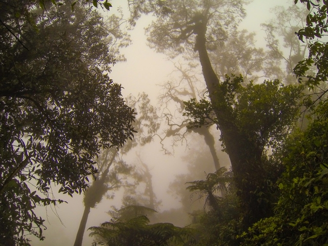
The most challenging section is the last hour of the ascent before reaching the summit.
The second route starts from the village of Wongayagede and passes by the Pura Luhur Bhujangga Waisnawa temple. The road is rough and narrow, but it is accessible by car. Approximately 1500 meters into the road, it converges with the first route. In terms of time required, these two paths are equal.
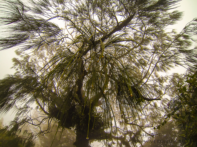
The Sanda route is the most difficult and longest (from 6 to 7 hours to the summit). It starts on the western slope of the mountain.
Before embarking on a journey to Batukaru, it's essential to prepare non-slip, sturdy, and waterproof footwear. In the jungle, you may encounter thorny shrubs, so it's advisable to wear dense clothing with long sleeves. If you bring a tent, a sleeping bag, and warm clothing, you can spend the night at the summit and witness the morning there.
By the way, not everyone has the strength to reach the summit. Leeches can attach themselves to your hands and feet. You can detach them by heating them with a lighter. To protect yourself from these bloodsuckers, bring a lighter and high socks or pants with elastic bands at the bottom.
If you have long hair, wear a hat or bandana because branches can get tangled in your hair. It's also a good idea to wear gloves to protect your hands from branches, tree trunks, grass, and roots.
Getting lost during the ascent is impossible. The trail is very clear, and it's bordered by a mystical forest that you're unlikely to stray from.
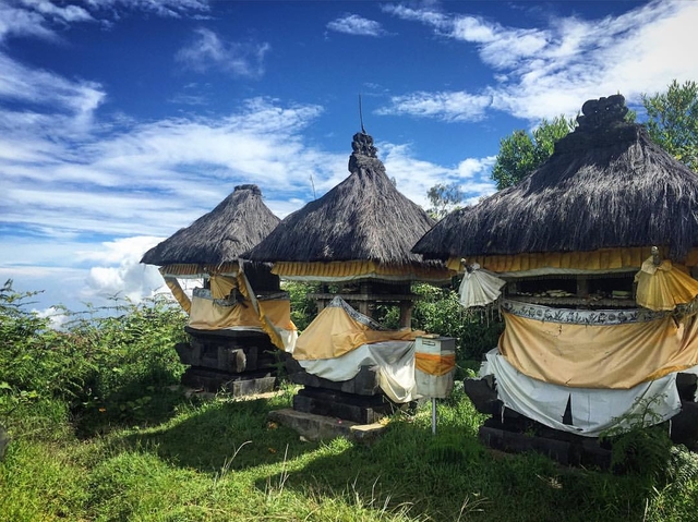
At the very top of the mountain, you'll find a small temple called Pura Pucak Kedaton.
The descent can be more challenging than the ascent. Make sure to have truly comfortable, non-slippery footwear.
The dense tropical forest covering the upper slopes of Batukaru is recognized as a natural reserve. Many bird species inhabit this area.
On the lower slopes of Batukaru, mountain biking tours and jungle hikes are organized.
You can add one right now!