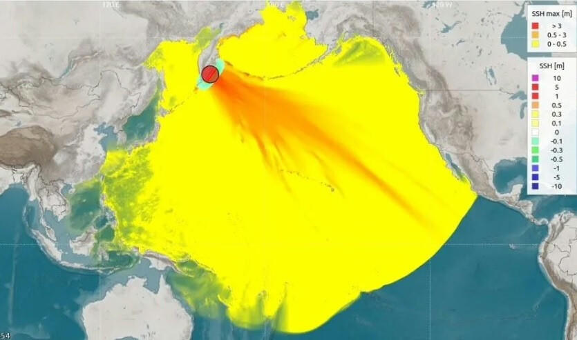
After a morning earthquake with a magnitude of 8.7 off the eastern coast of Kamchatka, the Meteorology, Climatology, and Geophysics Agency (BMKG) recorded a small tsunami in several regions of Indonesia:
1. Jayapura (14:14 Western Indonesian Time) 0.2 meters
2. Tapaleo Beach, Central Halmahera (14:15 Western Indonesian Time) 0.06 meters
3. Sarmi (14:20 Western Indonesian Time) 0.2 meters
4. Sorong, West Papua (14:35 Western Indonesian Time) 0.2 meters
5. Depapre Jayapura, Papua (14:45 Western Indonesian Time) 0.2 meters
6. Sausapor, West Papua (15:04 Western Indonesian Time) 0.2 meters

7. Beo Talaud Beach, North Sulawesi (15:14 Western Indonesian Time) 0.05 meters
8. Daeo Majiko Beach, Morotai, North Maluku (15:17 Western Indonesian Time) 0.08 meters
9. The tsunami sensor in the Gorontalo region did not detect any sea level anomalies.
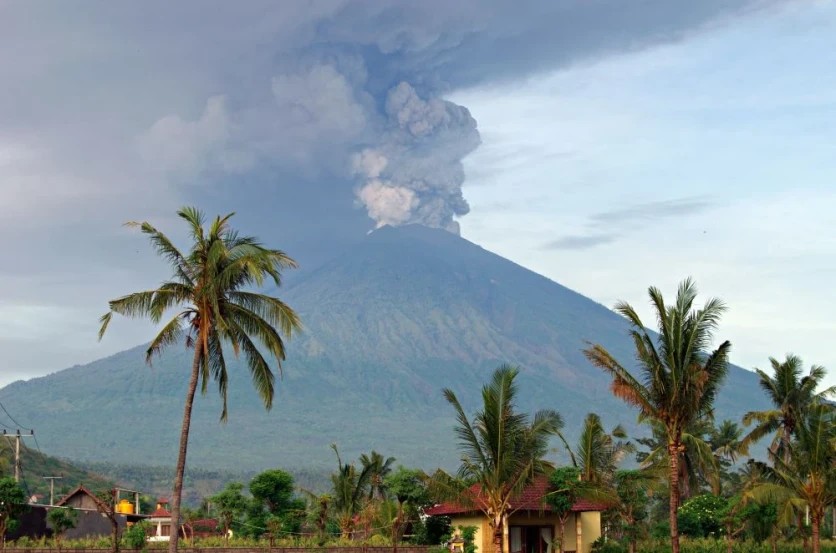
There is no tsunami risk on Bali Island; however, North Sulawesi, Gorontalo, North Maluku, Papua, and West Papua provinces remain potentially dangerous. Coastal residents and tourists are advised to stay calm and keep away from the shore.
The earthquake's epicenter was located at 52.51° N; 160.26° E at a depth of 18 km.
The earthquake was shallow, caused by plate subduction in the Kuril-Kamchatka Trench, and featured a thrust fault. This earthquake may also trigger tsunamis in Russia, Japan, Alaska, the Philippines, Hawaii, and Guam.
The head of the National Agency for Disaster Management (BNPB), Abdul Muhari, stated that they are still awaiting an official statement from the Meteorology, Climatology, and Geophysics Agency (BMKG) regarding the lifting of the tsunami warning in 10 regions of Indonesia.

Information from BMKG can be tracked on their official pages: (Instagram/Twitter @infoBMKG), website (https://www.bmkg.go.id or https://inatews.bmkg.go.id), Telegram channel (https://t.me/InaTEWS_BMKG), or via mobile apps (iOS and Android): wrs-bmkg or infobmkg.
You can add one right now!