If you’ve been following the news in Bali even a little, you’ve likely noticed that lately, the local media, social networks, and chats have been buzzing with discussions about an impending earthquake. More specifically, a “megaquake” with a magnitude of 8.7. Such a powerful jolt could lead not only to significant destruction from the direct tremors but also potentially trigger a tsunami. When might this happen? Which areas of Bali are at greater risk, and should you consider leaving the island now?
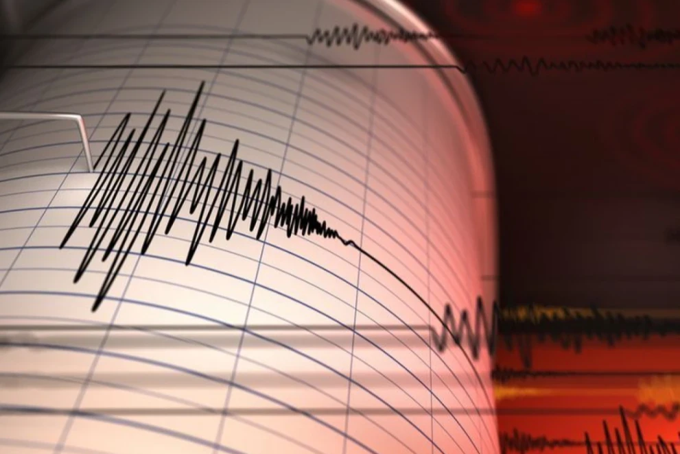
In short, no, there's no need to panic, and leaving the island is unnecessary (assuming your visa is in order, of course). Despite technological advancements and artificial intelligence, humanity still cannot predict earthquakes. Yes, scientists monitor tectonic plate movements, observe faults, track distances dynamically, and can make analytical predictions...
But! With 100% certainty, scientists can only predict where, when, and how an earthquake will occur just a few seconds before it begins. The only slightly more advanced forecast that can be made with some accuracy is whether a tsunami will follow the tremors, but this too is determined after the earthquake has occurred. That’s why popular earthquake-tracking apps never give advance warnings, and why it’s so difficult to prevent destruction and loss of life.
So, the much-talked-about megaquake that’s supposedly going to hit Bali could happen at any moment—meaning it could be tomorrow, or in 100, or even 200 years.
But why has this topic suddenly gained so much attention now? Why are local TV channels making such a big deal out of it and giving coverage to even minor tremors, which have always been a regular occurrence in Bali?
The answer lies in Japan and the “megaquake” that occurred there on August 8. After a magnitude 7.1 tremor, local authorities even issued a tsunami warning. Fortunately, according to official reports, there were no casualties. But now, the likelihood of a second “megaquake,” according to scientists, has increased.
The same fears exist in Indonesia, as the country is located in the "Ring of Fire" or the Pacific Ring of Fire, where the world’s most active volcanoes are located, and large-scale earthquakes frequently occur. Therefore, the Meteorology, Climatology, and Geophysics Agency (BMKG) has issued a warning about a potential major earthquake with a magnitude of up to 8.9 in the Sunda Strait and the Mentawai Islands region, particularly Siberut Island.
According to Dariono, head of the BMKG, both of these seismic sources have been dormant for a long time and have accumulated significant destructive energy.
"It can be said that the seismic gap in the Sunda Strait (M8.7) and the Mentawai-Siberut megathrust earthquake (M8.9) are 'just a matter of time,'” said Dariono.
A megathrust is a location where tectonic plates meet in the Earth's crust. During such an earthquake, the oceanic plate subducts beneath the continental plate, displacing a large amount of water and thereby causing a tsunami.
According to the map of earthquake epicenters in Indonesia and the map of hazardous zones, the last "megaquakes" in the Mentawai Islands and Sunda Strait regions occurred more than a hundred years ago.
"Although experts can calculate the estimated maximum magnitude of an earthquake in the megathrust zone, modern technology does not allow for precise prediction that it will indeed occur, let alone determine when a megathrust earthquake will happen," the BMKG said in a statement.
As for the areas that could be most affected by the consequences of such strong tremors, experts are also not ready to name them.
Therefore, the Earthquake and Tsunami Study Center of the Meteorology, Climatology, and Geophysics Agency issued a separate press release in which experts reassured citizens, urging them to continue living their normal lives, going to work, or traveling without being distracted by predictions that might not come true even in the next 100 years.
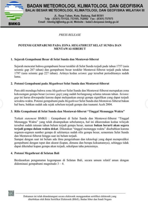
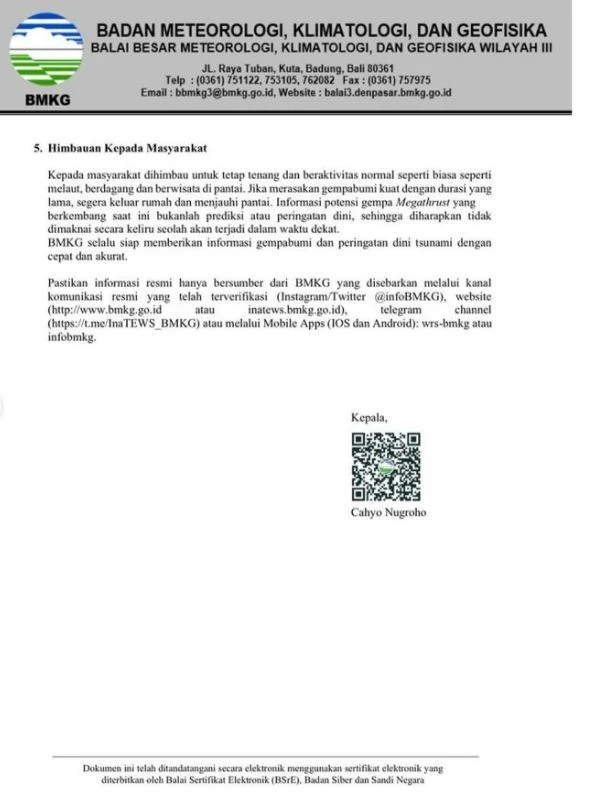
After all, the likelihood of earthquakes in the Sunda Strait and the Mentawai Islands region is not new; in fact, it existed even before the earthquake and tsunami in Aceh in 2004.
At the same time, scientists themselves are remaining vigilant and closely monitoring how and where even the smallest earthquakes occur. One of the precursors to a megathrust earthquake is a series of small tremors occurring in one area.
If we look at the statistics, in the first 6 months of this year alone, the BMKG recorded 4,700 earthquakes in Bali, East Java, West Nusa Tenggara (NTB), and parts of East Nusa Tenggara (NTT). The earthquakes varied in magnitude, averaging around 3-4.
So far, experts do not see anything unusual in this. According to them, these figures are quite normal for regions with high seismic activity. Moreover, some geophysicists claim that the more frequent small earthquakes occur, the better—it means energy is being released periodically, which reduces the likelihood of more powerful tremors.
Still, if you feel a prolonged earthquake, immediately leave the building you are in and stay away from the beach.
Official information about seismic activity can be obtained here.
Sources: InfoDenpasar, Denpasar viral, Radio Republik Indonesia, Antara news, tirto.id, Kompas, CNN Indonesia.
You can add one right now!