In the modern world, it's hard to imagine traveling without navigators. They've long been helping us get from point A to point B without using long-forgotten road atlases and paper maps. Which navigators should you use in Bali? Let's figure it out.
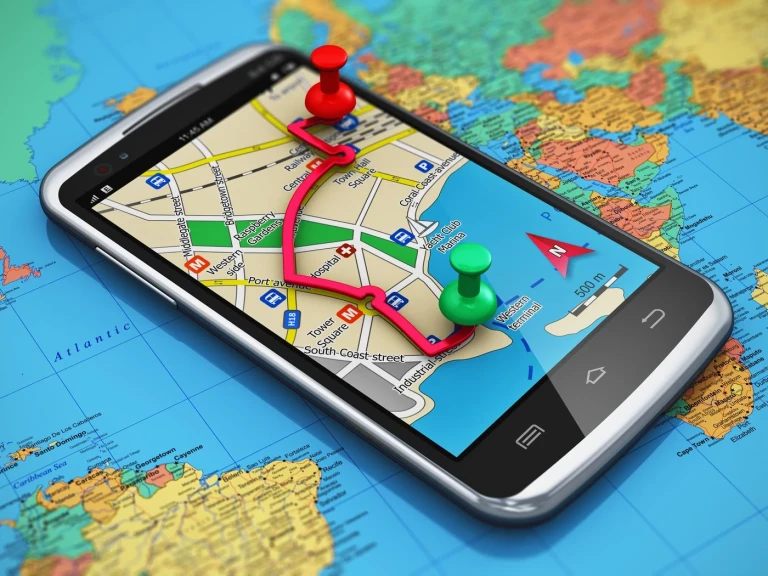
I'll warn you separately that despite the fact that the most convenient way to navigate on a scooter is a phone attached to a holder, this method is not very good. Firstly, vibrations can damage the phone's cameras, and secondly, sometimes expensive smartphones are attempted to be stolen directly from your scooter while on the move. If you use navigation a lot, the optimal solution is to buy a used or cheap phone for this purpose. You can, of course, use voice prompts in headphones, but you will probably periodically miss turns, forks, and exits from roundabouts. The decision is up to you.
Apple maps
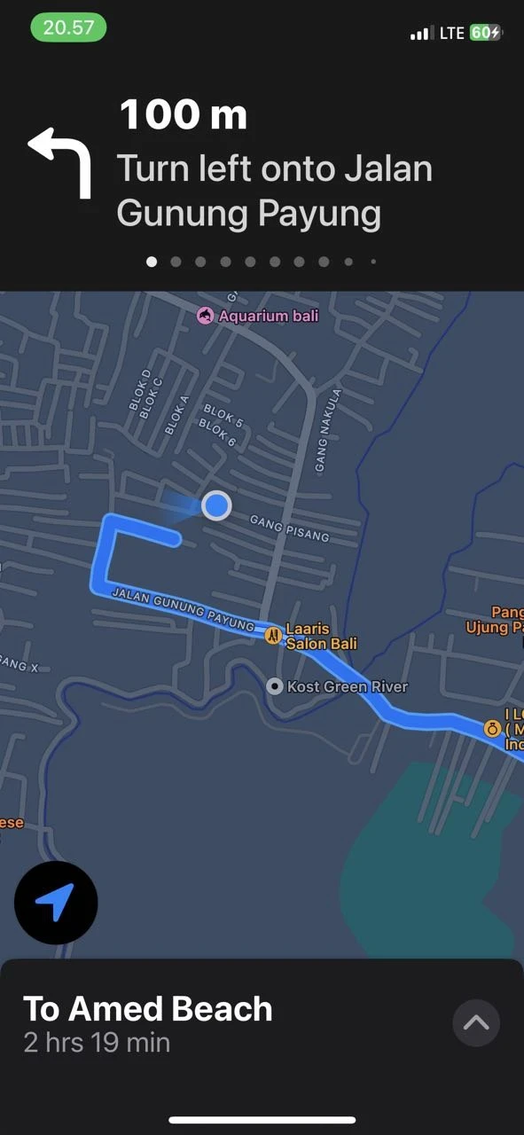
Perhaps the maps of the Apple company may be useful for something, but probably not for navigation around the Island of Gods. Maps are not always accurate and sometimes glitch in various ways. For example, I never managed to make these maps work properly on my Apple Watch. They can reset the route, not see traffic situations, and most importantly, they don't have a motorcycle mode, meaning all routes are calculated assuming you are driving a car. In general, you can use them, but it will always be more of an experiment than reliable navigation.
Google maps
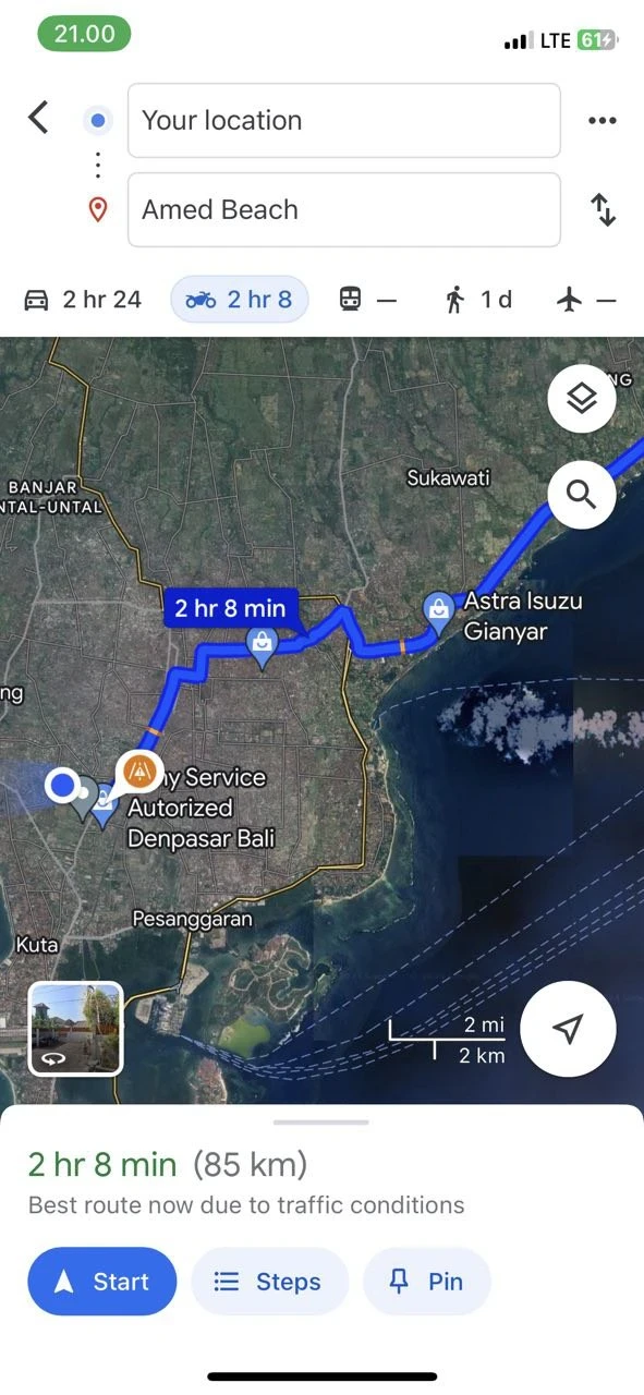
The most common navigation app. Good functionality, more or less modern maps. There is an option to switch to motorcycle mode, then the routes will be calculated and optimized for two-wheeled transport. This is a really useful feature. You can use voice prompts through headphones, but it will still be most convenient to mount the phone. The roads in Bali can be quite confusing, and voice prompts may not be enough. For example, there are two consecutive left turns, and the navigator says to turn left in 50 meters. There is a chance of taking the wrong turn. Google Maps also has a funny feature: sometimes they decide to send you to your destination through winding country roads instead of the main highway. And here you are, saving five minutes, spending half an hour on some narrow, broken village lanes when you could have easily gone on a wide highway. Why Google does this is unclear, perhaps it thinks you need more adventures in your life.
Waze
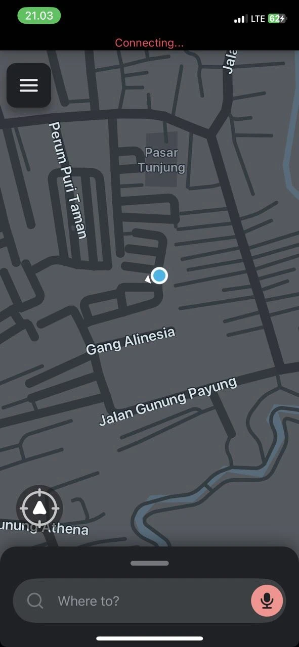
An excellent navigation app for getting around Bali. Knows all the local nooks and shortcuts very well. In addition to the standard navigator functions, it has a gaming and social component: you can choose an avatar, receive various achievements, and also see other users of the app on the map, of course, if you wish. All this can be turned off. One of the most demanded features is displaying police posts and accidents on the map. Yes, a life hack for those who like to ride without a license. You can also place a speedometer on the map, which is likely to be more accurate than your bike's onboard sensor.
Garmin
Garmin devices are specialized devices designed for specific tasks, and the lineup includes devices for both motorcycles and cars. Naturally, they have accurate constantly updated maps, rain protection, a bright screen, all navigation functionality, statistics, and so on. The only thing is that you will have to pay quite a lot for such a device, unlike simple apps. So, this option will not suit everyone.
Tomtom Go Ride
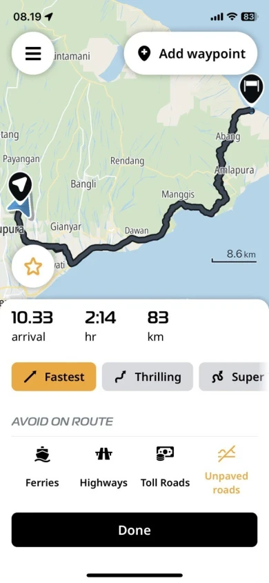
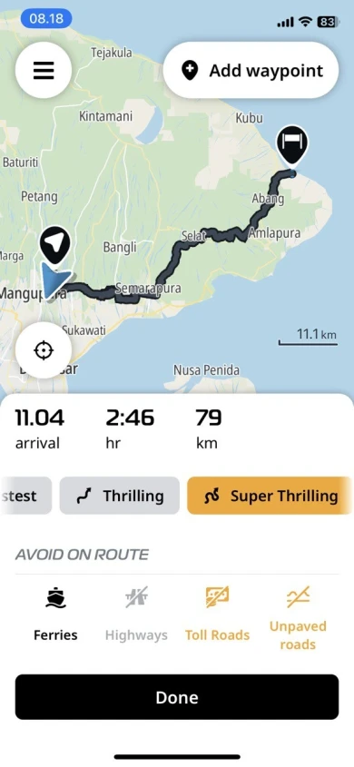
TomTom is one of the leading providers of maps globally. The company has released an application specifically for enthusiasts of two-wheeled transport. The app includes all the necessary navigation functionality, a speedometer, statistics, plus an interesting feature of choosing an exciting route. There are three options to choose from - the fastest, the thrilling, and the super thrilling. The app analyzes available routes to the destination and genuinely tries to select more winding and scenic roads, sacrificing arrival speed. It is excellent for motorcycle enthusiasts, allowing them to avoid well-trodden paths and attempting to guide you through the most interesting routes. Screenshots show the route from Ubud to Amed, showcasing both the fastest and the most thrilling options. The application does everything it can.
Maps me
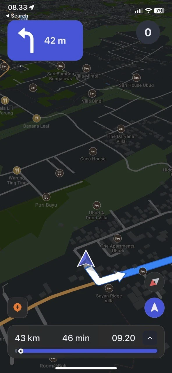
Maps.me is generally well-suited for hiking, already featuring numerous trails, including those in Indonesia. A crucial aspect is that maps are downloaded to the device and used without an internet connection. It also has functionality for car navigation, downloading all available information about landmarks, walking routes, hotels, gas stations, etc. In general, this navigator is excellent for travelers. For instance, if you're bored during the trip, you can always look at the map and find a nearby attraction.
You can add one right now!