For centuries, Bali's volcanoes have played an important role in the religious rituals of the local inhabitants. Tourists have also grown fond of them, and today the mountain range in the center of the island has become one of the most recognizable symbols of Bali.
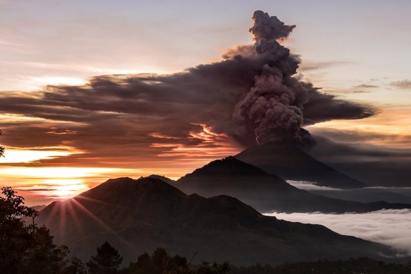
Bali is home to several dozen volcanoes, but the most famous are two: Agung and Batur. These are the only active volcanoes on the island. The other volcanoes are considered either dormant or extinct. As a brief overview, an active volcano is one that has had an eruption recorded in the last 3,500 years. Dormant volcanoes have not erupted during that time but have had eruptions within the last 10,000 years. Extinct volcanoes are those that cannot erupt (due to the absence of magma supply) or have not erupted in the last 10,000 years.
When you find yourself in Bali, take a look at the mountains towering in the center of the island. Almost all of them are either volcanoes or were once. Currently, the island is relatively safe.
Geographical Location
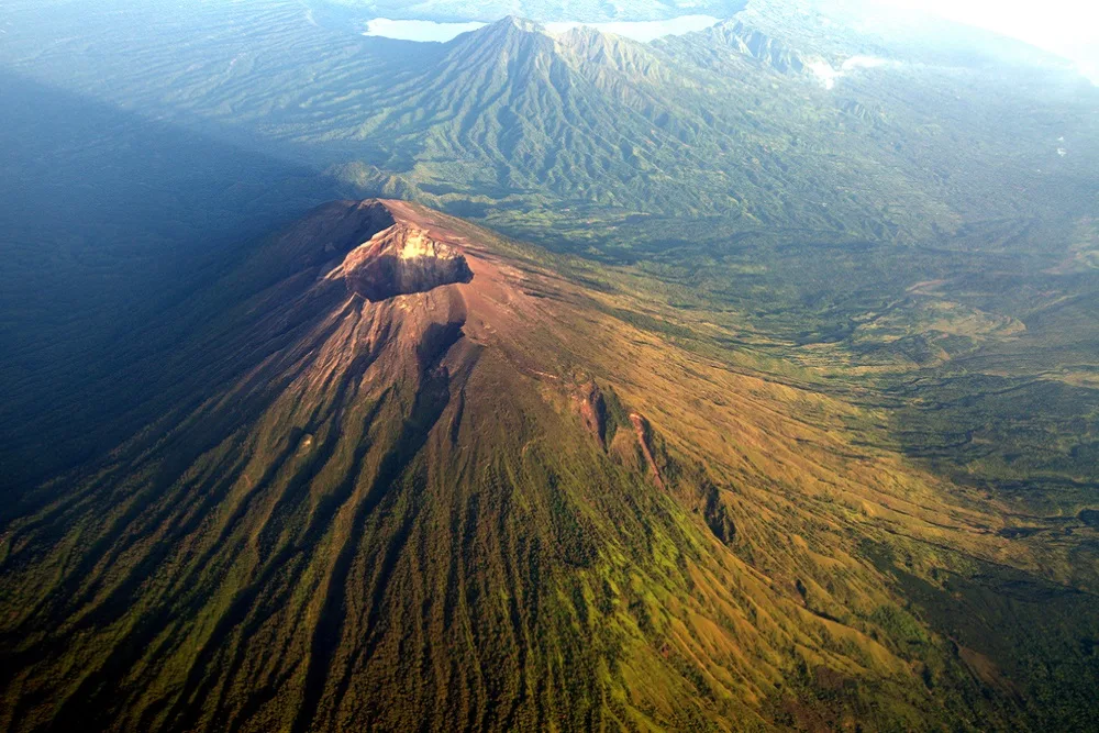
The mountain chain of volcanoes is situated in the center of Bali. The island is part of the vast Pacific Ring of Fire, a chain of volcanoes formed due to the interaction of oceanic, island, and continental lithospheric plates. This gigantic ring encompasses nearly half of the planet: it stretches through Oceania, the eastern coast of Asia, Kamchatka, the Aleutian Islands, and the west coasts of North and South America and New Zealand. It is one of the most dangerous areas on the planet. In this fire belt, about 75% of the world's active volcanoes are located, and earthquakes occur here more frequently than anywhere else.
Mount Batur
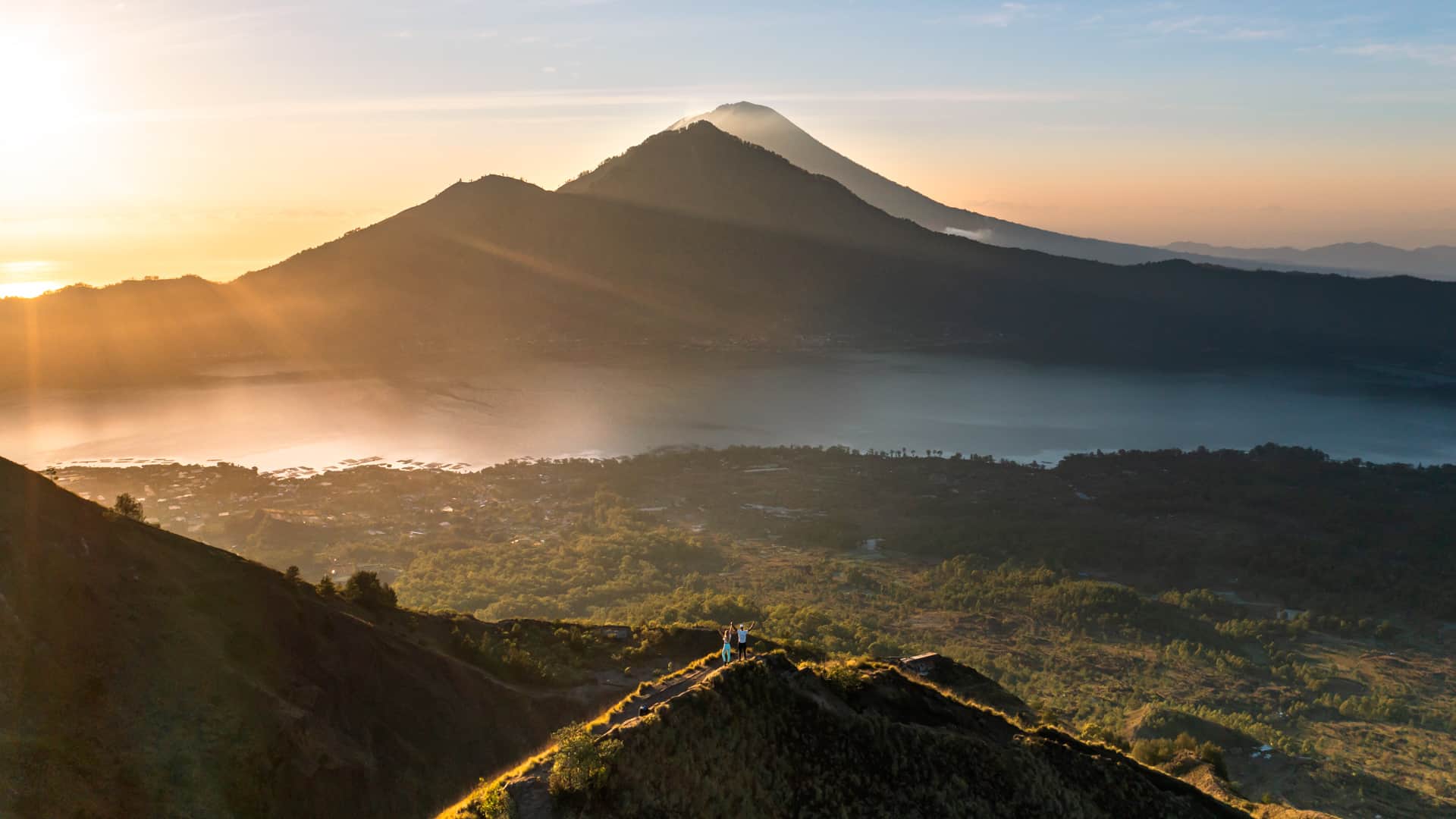
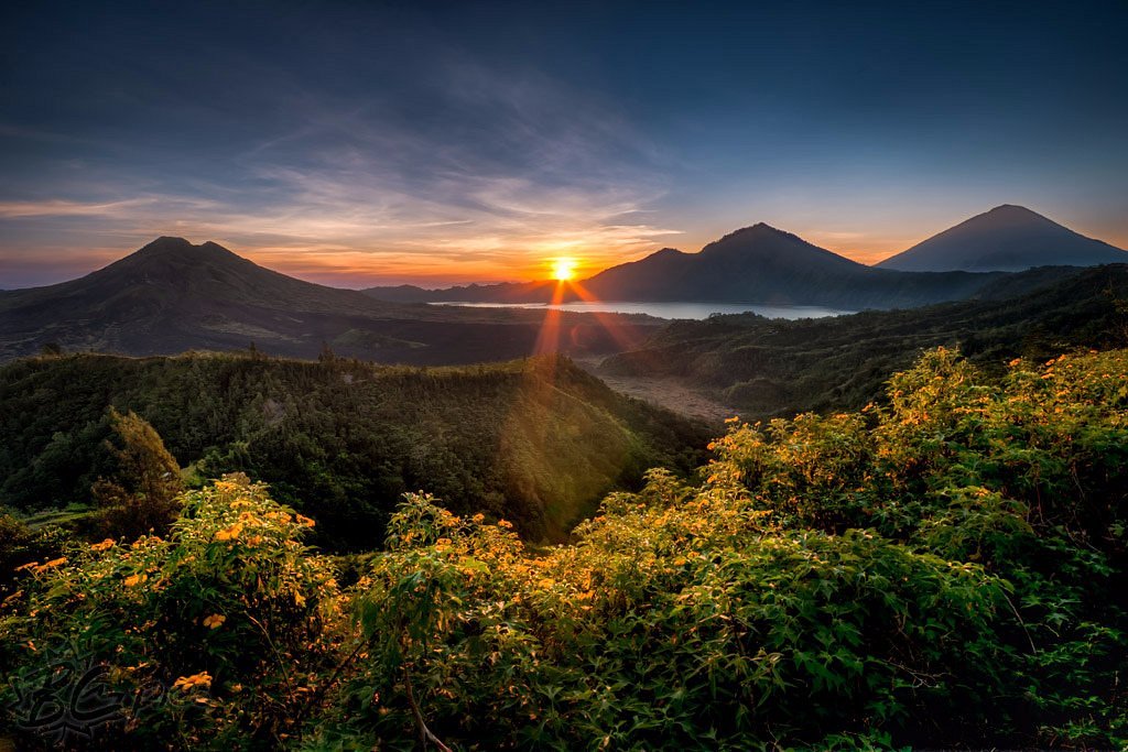
Gunung Batur is an active volcano located on the island of Bali in the Kintamani region. This area covers approximately 368 square kilometers and includes the volcano itself, the lake of the same name at its foot, and several villages. Its elevation is 1,717 meters.
Kintamani Region
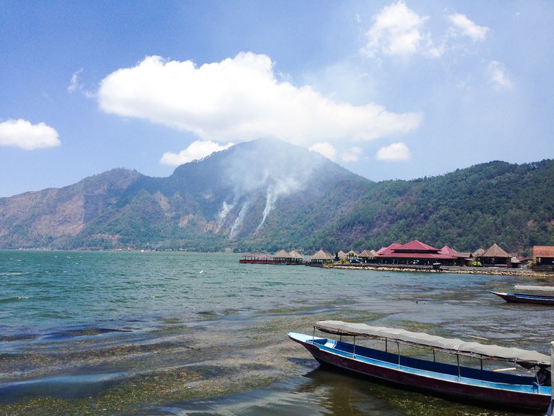
Kintamani is a caldera, which is a depression formed as a result of a volcanic collapse. About 500,000 years ago, a massive mountain with a crater at its summit was formed in this area. After a powerful eruption that occurred approximately 30,000 years ago, a large volume of rock was ejected from its mouth. As a result, the eroded walls of the volcano collapsed, forming a basin with a flat bottom that measures 13.8 kilometers long and 10 kilometers wide. Mount Batur was formed in this basin, which is often referred to as "the Kintamani volcano."
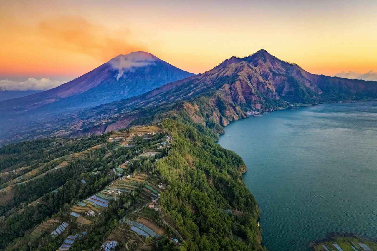
Another caldera, smaller in size, formed 8,500 years after subsequent eruptions in the area. Over time, it filled with water and is now known as Lake Batur. Interestingly, it is the largest crater lake in the world, even larger than Crater Lake in Oregon, USA. The waters of Lake Batur irrigate the local rice fields. Swimming and the use of motor boats are prohibited in the lake.
One unique feature of the lake is that its water level remains constant throughout the year. Locals often tell the legend that this is because the lake is protected by the water goddess Dewi Danu. They also say that the lake is fed by eleven springs hidden at its bottom. Therefore, even during dry periods, it remains full.
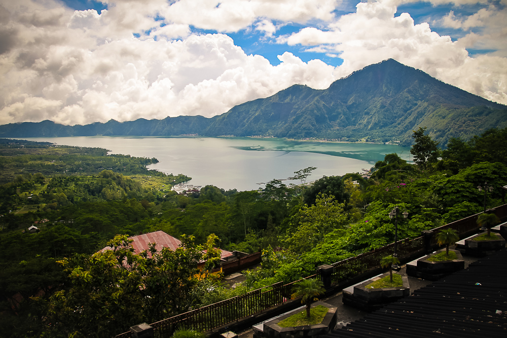
Another legend states that there once was a village at the bottom of Lake Batur. After the caldera was formed, it was relocated closer to the volcano's summit. Today, several villages around the caldera are referred to as "lake stars" (danu bintang). Despite the ongoing danger, the residents of these villages do not intend to leave. One reason is that moving is a tedious and costly endeavor. Not every Balinese has the funds to relocate to another part of the island. Another reason is that regular eruptions have made the soil in Kintamani incredibly fertile. Harvests can be gathered several times a year in this area. The lake also provides villagers with fish. Additionally, the volcanic tuff, abundant in the area, is used by residents to make souvenirs for tourists. There is also a quarry in the caldera where sand is extracted.
Description and History of Mount Batur
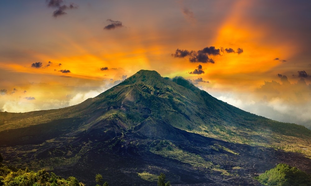
The summit of Mount Batur stands at an elevation of 1,717 meters above sea level. Currently, the volcano is silent, but in the past, it has repeatedly shown its power. Since 1800, there have been at least 22 eruptions of varying intensity. One of the most destructive occurred in 1917, resulting in the death of over 1,000 people and the destruction of 65,000 houses and 2,500 temples. In 1964, the volcano came to life again. Although the eruption was less powerful, it still destroyed 16 structures in the village at its foot.
Ash emissions from the Batur crater occurred more frequently. In the first half of the 20th century, there were three notable emissions—in 1926, 1929, and 1947. The last ash emission took place in 2000, when an ash plume rose to a height of 300 meters. The local population was very frightened, as the volcano had been quiet for nearly half a century by that time.
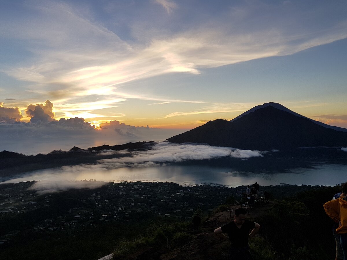
To appease the gods and avoid further disasters, the Balinese conducted a symbolic ceremony. They sewed a huge sarong several kilometers long and wrapped it around the volcano. A large number of people from all over the island participated in the ceremony, coming to pray and bring offerings. Whether this had an effect is difficult to say. However, it is known that there have been no eruptions since then.
In September 2009, seismic activity was recorded in the Batur area. Over the course of two months, the activity increased, and in November of that year, the Centre for Volcanology and Geological Hazard Mitigation of Indonesia joined in monitoring the volcano. Scientists even mentioned the possibility of an eruption. However, by June 2010, Batur's activity began to decline, and on November 19, continuous monitoring was halted.
As the reasons for this anomaly were unknown, scientists decided to investigate the area near the volcano. In June 2011, they traveled to Bali. In the vicinity of the caldera, a characteristic smell of sulfur gas was detectable, and the surface of the lake was found to contain thousands of dead fish. Greenish-white spots were also visible on the water.
This event dealt a serious blow to the island's economy. The lake's water became unsuitable for irrigation and drinking for a long time, and the dead fish deprived local fishermen of food and income. When the damage was calculated, it amounted to one billion rupiah.
In 2012, the territory of the Batur caldera was included in UNESCO's "Global Geoparks" program. This designation made the caldera an object of geological heritage of international significance. Granting such status serves as a kind of "quality mark" for the attraction.
Mount Agung
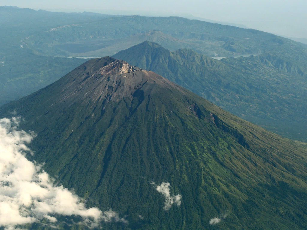
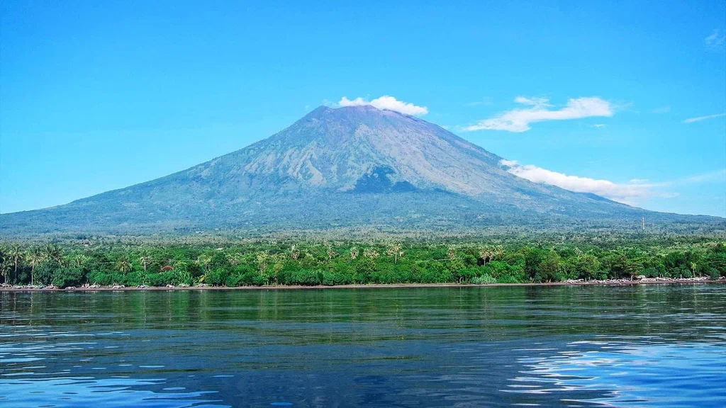
Agung is a sacred mountain for the local inhabitants. The very name of the volcano translates to "Mother Mountain." According to ancient legend, Bali was once a flat island without any mountains. It had fertile lands, carefree people, and paradise birds. The gods took notice of this beautiful place and decided to settle there. However, they found it beneath them to live on a plain with humans, so they raised Agung.
Sacred texts and ancient legends of Bali envelop Agung in an aura of divinity. It is seen as a staircase to the heavens, a place where the gods descend to be closer to mankind. The power of Agung has become a symbol of unwavering faith in divine providence and the balance of the world. In modern Balinese Hinduism, Agung is considered the embodiment of Shiva, the masculine principle.
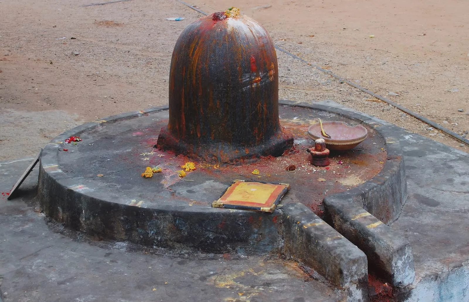
This giant not only adorns Bali but is also its soul and protector—a sacred place celebrated in the legends and prayers of the locals. For ages, Agung has been regarded as a special place where the heavens touch the earth, making the gods closer than anywhere else. It not only shapes the island's climate by favorably distributing rainfall but also fills the hearts of the local residents with reverence.
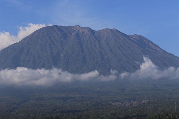
Mount Agung is an active volcano with an elevation of 2,997 meters, necessitating constant observation and monitoring. Local authorities and scientists continue to keep tabs on it and take measures to protect the island’s population. In the event of increased volcanic activity, evacuation plans may be implemented for residents and tourists.
Each eruption of the volcano serves as a reminder of nature's unpredictability, fostering community spirit and strengthening the sense of unity, as people learn to live in harmony with this powerful natural phenomenon.
History and Activity
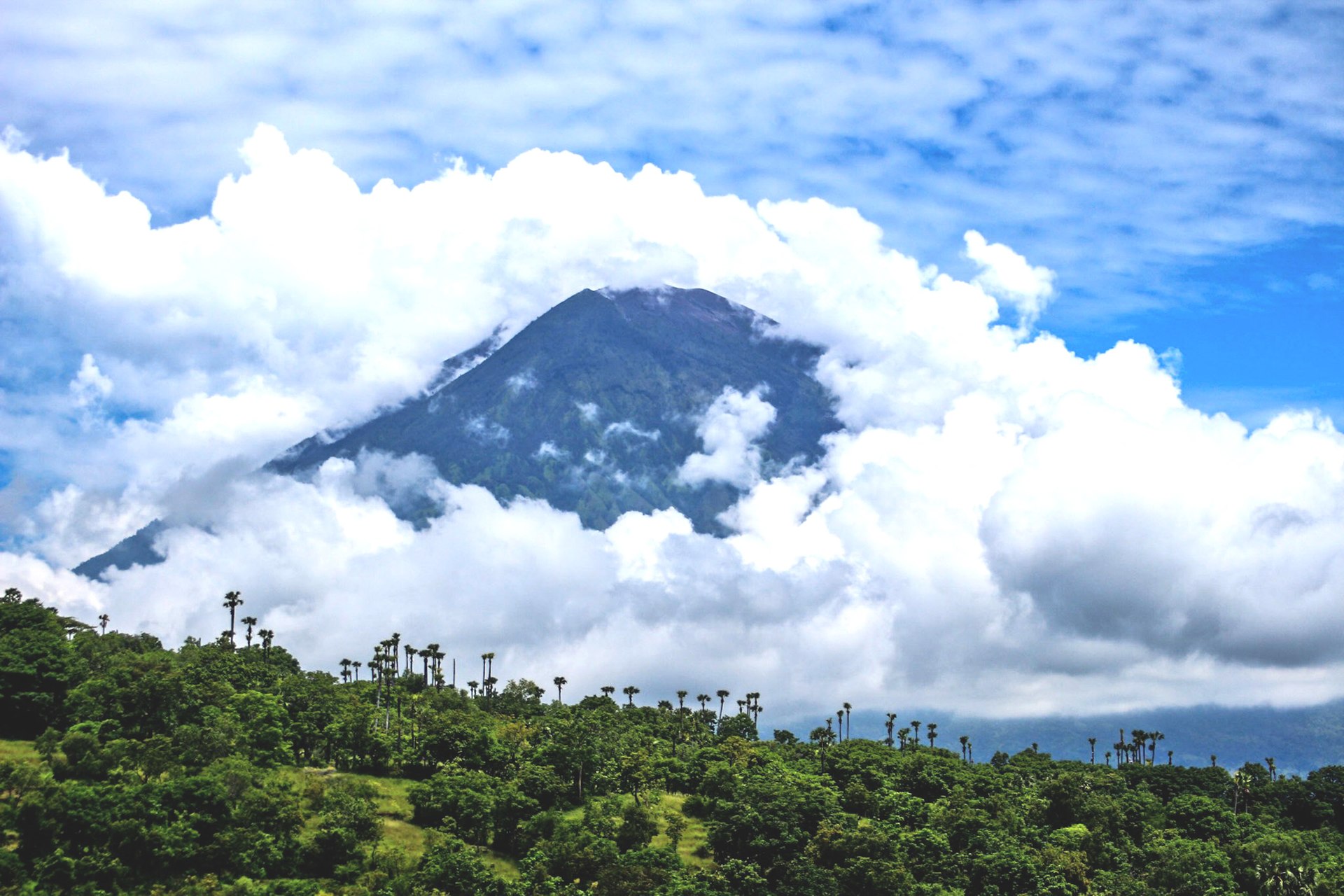
Since ancient times, local residents have been aware of the dual nature of this giant. They recount tales of it in myths and respect it as a sacred pillar of the world. However, their stories often include mentions of its destructive eruptions. History has seen many instances when Agung reminded people of its presence not only through peaceful patronage but also through fierce displays of anger.
1963: The Eruption that Changed Bali
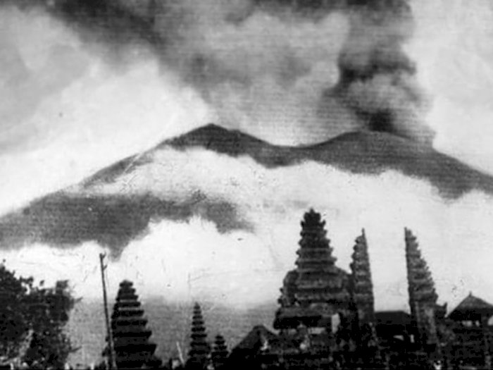
One of the saddest stories associated with Bali is linked to Agung. Every 100 years, the residents celebrate the Day of the Cleansing of the Universe. This is a special ritual festival that takes years of preparation. The last celebration was scheduled for 1963. Priests noticed that the volcano was behaving strangely and hurried to inform President Sukarno. They asked him to postpone the year of the celebration, fearing eruptions, but he insisted on conducting the ceremony (for political reasons—numerous foreign guests had already been invited). The festival ended in tragedy, claiming the lives of over 2,000 people, and leaving hundreds of locals homeless.
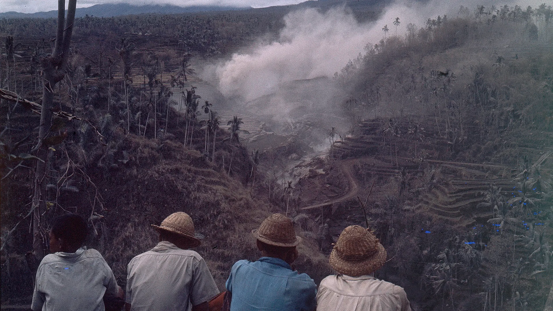
In addition to the immediate destruction, the eruption caused long-term changes in agriculture and ecology in Bali, affecting the lives of thousands. After the volcanic eruption, ash blocked the usual water pathways on the island and severely impacted the rice terraces. The irrigation systems, vital for the fields, suffered damage, leading to effects on crop yields. There was less water for irrigation, which affected plant growth and soil fertility. These changes not only reduced crop yields but also created difficulties for farmers whose lives are closely tied to the land. They faced economic hardships, impacting everyone dependent on the agricultural sector.
At the same time, this event once again highlighted the importance of Agung to the Balinese as a reminder that nature here is not just a backdrop for photographs, but a powerful force with which they learn to coexist from generation to generation, respecting its power and adapting to its moods. Events like the eruption of Agung are an integral part of the island's history, reminding us of the ongoing dialogue between humanity and nature, where each of us can find not only lessons for survival but also inspiration for future generations.
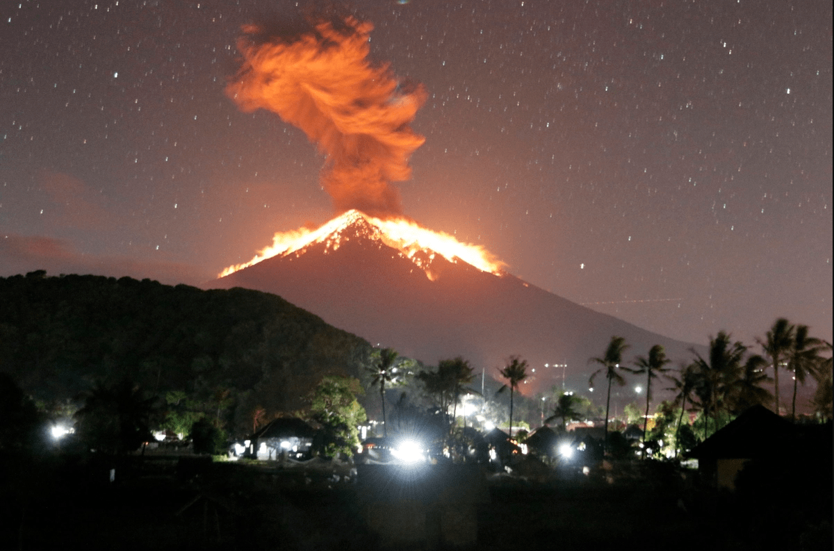
The last eruption of Agung occurred on May 25, 2019. It was brief, lasting just 4.5 minutes. During this time, the volcano expelled lava and hot rocks into the surrounding area within a radius of 3 kilometers. Nine nearby villages were covered in ash. Fortunately, no one was harmed, as authorities timely warned residents to temporarily leave their homes.
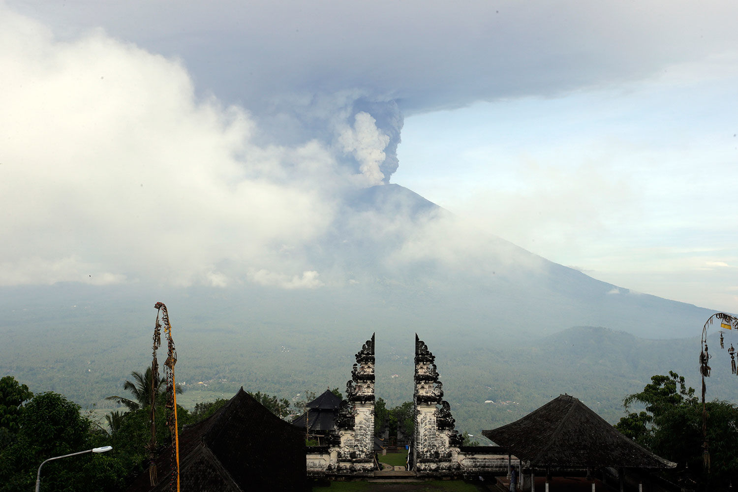
Mount Agung Today
Volcanologists and researchers collect data from seismographs, satellites, and observation stations to monitor the volcano's activity. This data is not just numbers; it tells us about the mountain's "breath," its mood, and intentions.
Recent reports indicate that while complete calm from Agung cannot be expected, it is currently in a state of dormancy. Nevertheless, its level of activity fluctuates, reminding us of the need for a careful and attentive approach to the nature of this remarkable place.
Island authorities, aware of the risks, are taking all necessary measures to ensure the safety of both residents and tourists. Hazard zones are clearly marked, and evacuation plans are in place in case of increased volcanic activity.
Pura Besakih: The Sacred Temple at the Foot of the Volcano
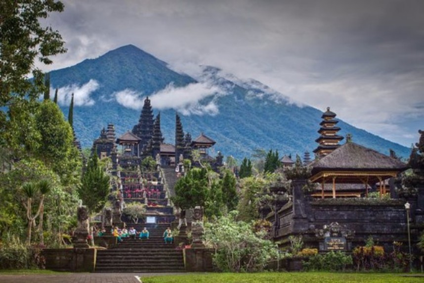
Pura Besakih is the heart of the spiritual life of Bali. Known as the "Mother of All Temples," this majestic complex serves as a true spiritual anchor for the island, a place where heaven and earth seem to be one.
Founded in the 14th century, Pura Besakih is spread across six broad terraces that ascend all the way to the slopes of Agung. It comprises 23 individual yet closely interconnected temples, each with its unique architecture and purpose. Central to the complex is Pura Penataran Agung, featuring its multi-tiered Meru tower, which reaches skyward, symbolizing the mountain and the spirit's aspiration towards the higher.
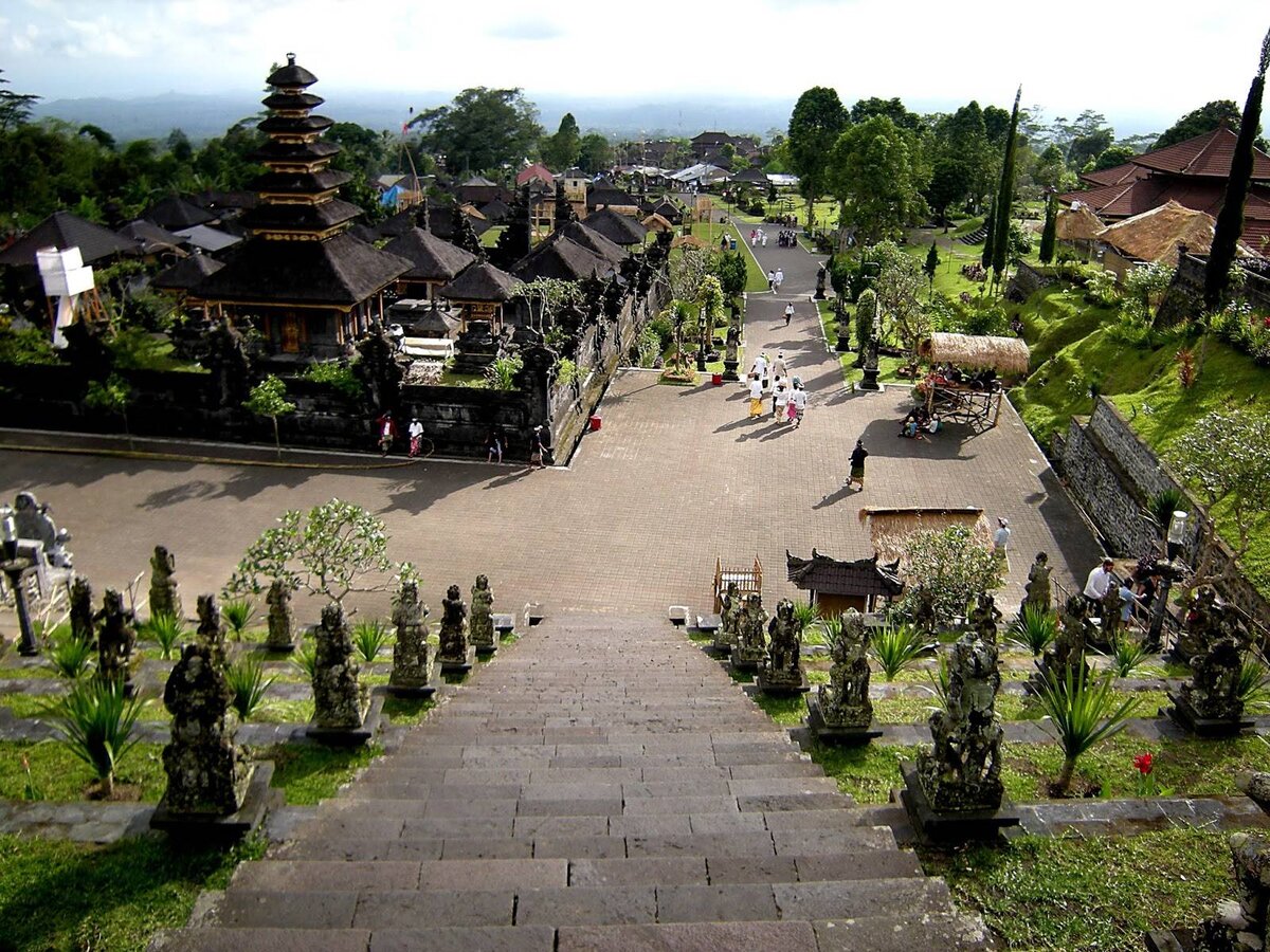
This complex becomes especially lively during the numerous religious ceremonies held throughout the year. The most significant of these is the Eka Dasa Rudra ceremony, conducted once every ten years and attracting thousands of pilgrims. During these days, the temple is enlivened by prayers, tales, and music, transforming it into the epicenter of Balinese culture and spirituality.
Pura Besakih has witnessed and survived much, including the eruption of Agung in 1963, when lava flows came to within just a few meters of its sacred walls. This moment reinforced the local people's faith in the protective powers of the temple and its sacred importance. Today, it remains not only a place of worship but also a symbol of continuity, renewal, and the endless dialogue between humanity and nature.
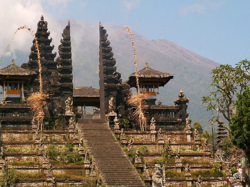
Visiting Pura Besakih allows one to feel the depth and grandeur of Balinese culture, marveling at its ability to harmoniously blend natural elements with human aspirations. It is a place where stories from ancient times intertwine with the modern world.
The Significance of Volcanoes for Bali
Ascending to the mountain temple is an essential part of the Hindu religion. The local people predominantly practice a unique form of Hinduism, considering such journeys a form of purification for the soul and body. According to local legends, there once stood a great mountain, Mahameru, on the island. The gods split it into two peaks—Agung and Batur. After that, the land in Bali became fertile, allowing people to live happily here. Notably, there is some truth to this—volcanic ash serves as a good fertilizer for the soil. Therefore, it can be said that volcanoes have indeed made Bali more suitable for human habitation and agriculture.
During major celebrations, the gods who reside at the mountain peaks descend to the people. At least, that is what local believers believe. In honor of these gods, various temples and complexes have been constructed on the slopes and peaks of the volcanoes and mountains. The most famous is Pura Besakih, located on the slope of Agung. Almost every mountain has at least a small temple of local significance.
Volcanoes have proven beneficial not only for beliefs and agriculture but also for the economy of the region; they attract many tourists, and the good infrastructure surrounding the popular mountains allows locals to earn a decent income.
You can add one right now!